
Drone Photography Near Me
Explore an Interactive Aerial 360°
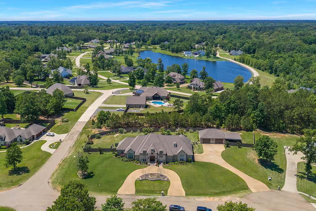
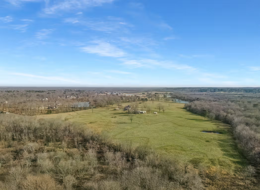
Click and drag to explore the property and surrounding area from above. This interactive aerial panorama gives buyers a completely different perspective of the property.
👉 Open Video in YouTube to click, drag & explore.
Ready to elevate your listings?
Call me today 903-660-PICS (7427) or Send a Text!
Professional Drone Photography Across the Ark-La-Tex
If you are searching for Drone Photography Near Me, ProTexarkana provides professional aerial photography and video throughout the greater Ark-La-Tex region. I regularly serve clients in and around Texarkana, Wake Village, Nash, Hooks, New Boston, Redwater, Atlanta, Queen City, Jefferson, Longview, Mount Pleasant, Hope, Ashdown, Fouke, Shreveport, Bossier City, and other surrounding communities across Northeast Texas, Southwest Arkansas, and Northwest Louisiana.
I am also available to travel outside my normal service area for the right project. For jobs that require extended travel, I charge a $50 per hour travel fee for travel time to the property and back. That makes it easy for Realtors, builders, investors, businesses, and property owners outside the immediate Texarkana area to still use ProTexarkana for aerial photography, video, and complete real estate media packages.
Drone Photography for Homes, Land, Commercial Property and More
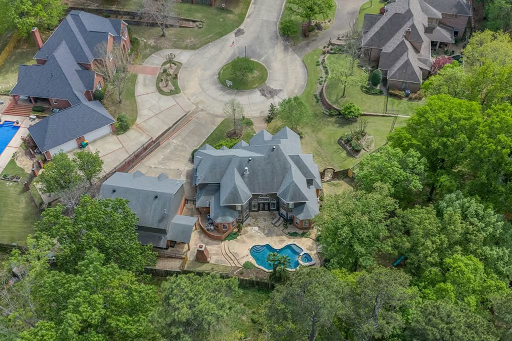
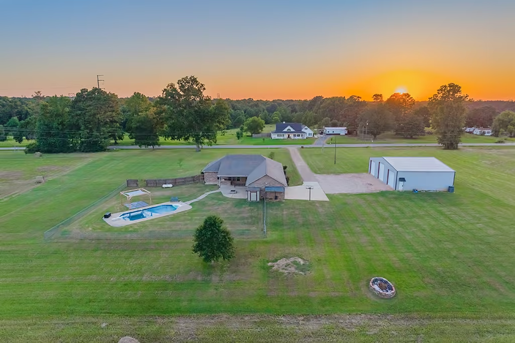
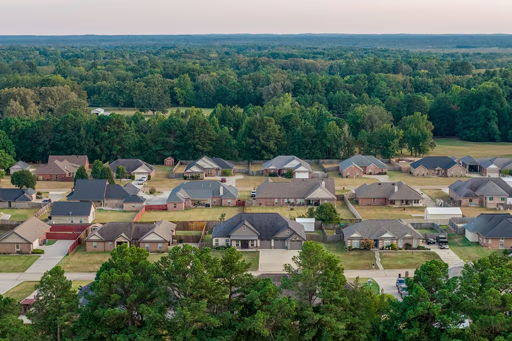
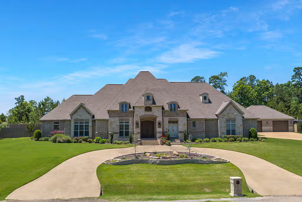
My drone services are not limited to traditional residential listings. I photograph homes, acreage, land, luxury properties, commercial buildings, investment properties, development sites, and other real estate throughout the Ark-La-Tex.
Depending on the project, I can provide:
- Aerial real estate photography
- Cinematic drone video
- Aerial 360° panoramic images
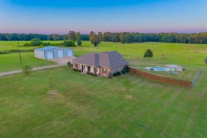
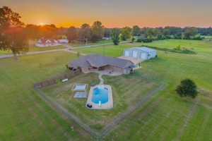
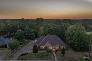
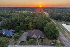
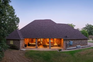
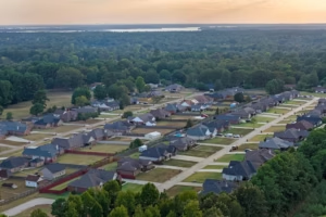
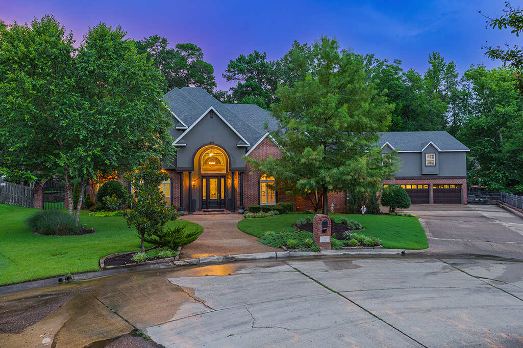
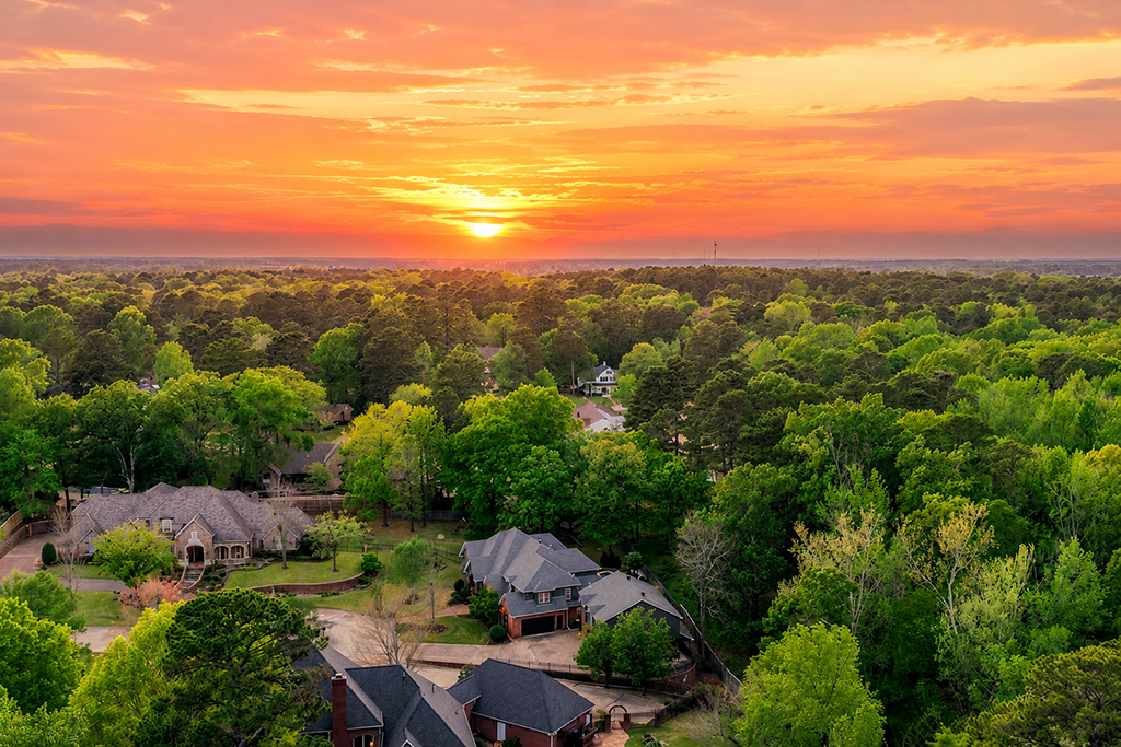
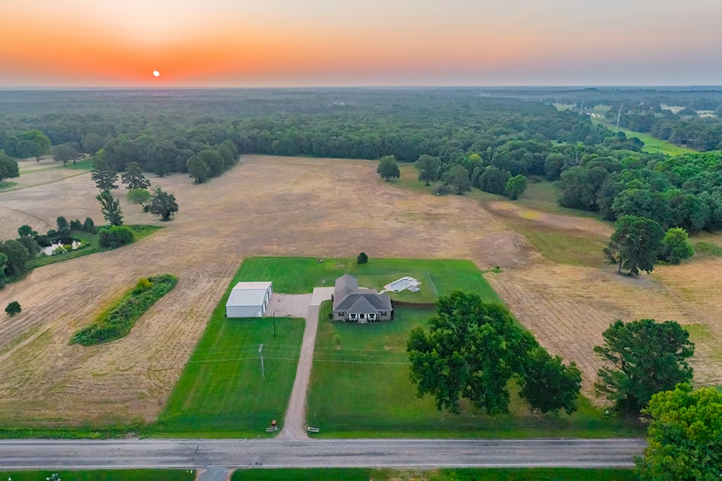
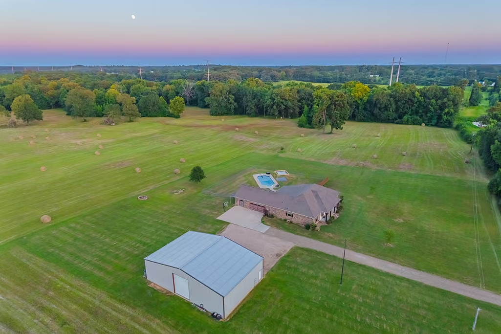
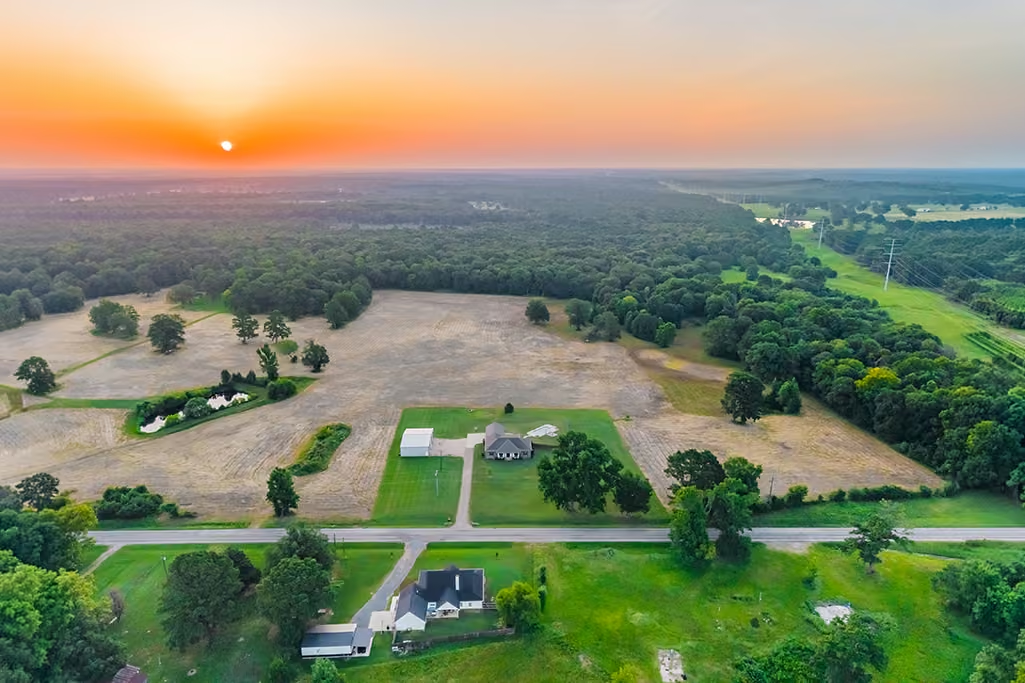
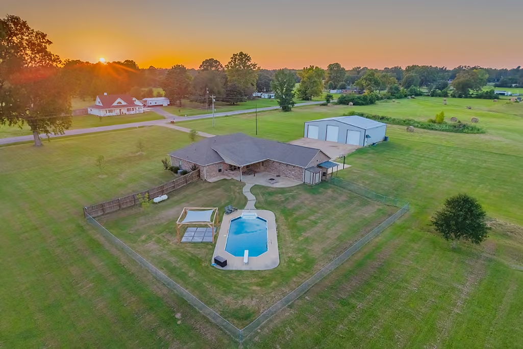
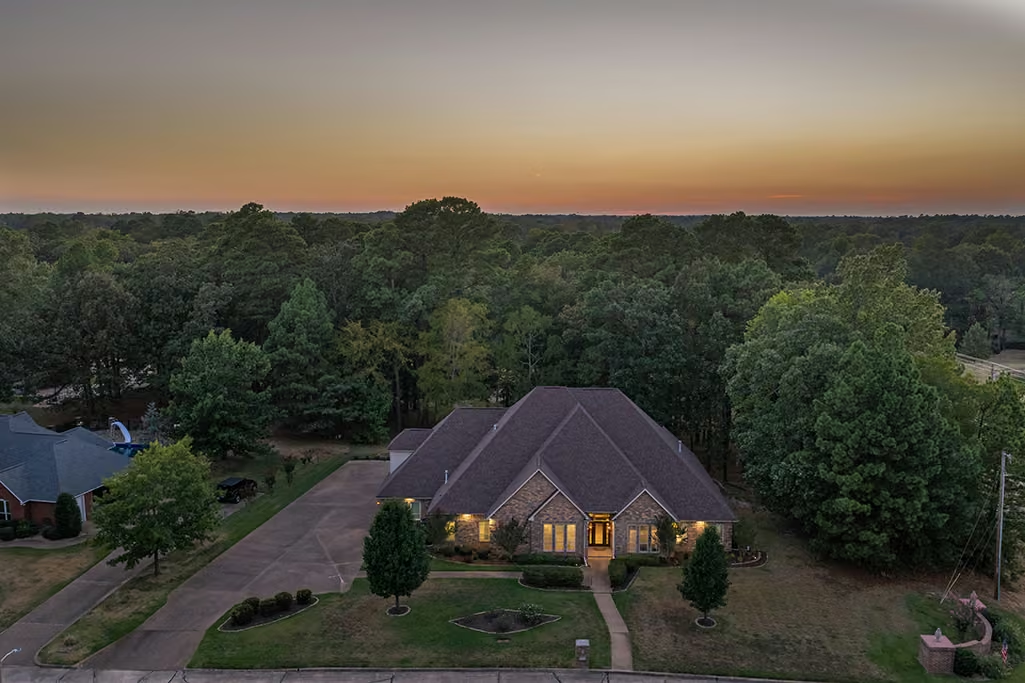
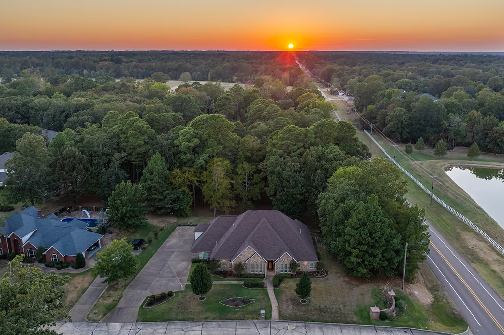
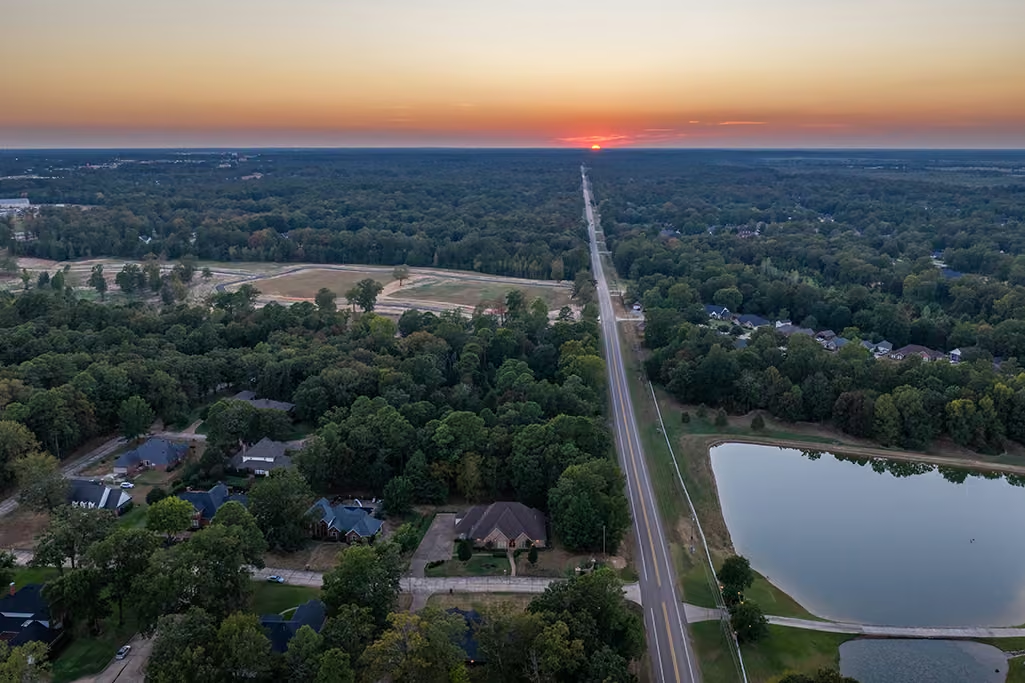
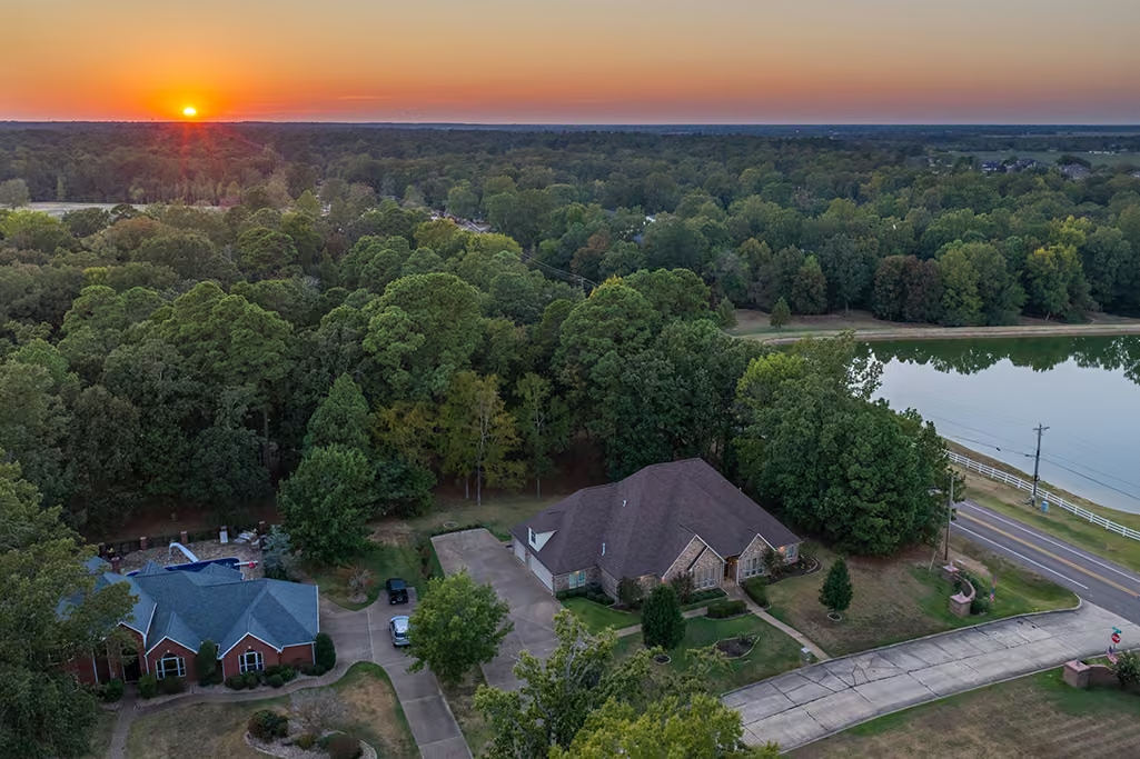
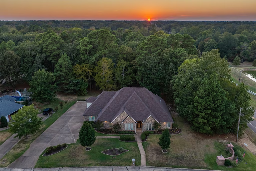
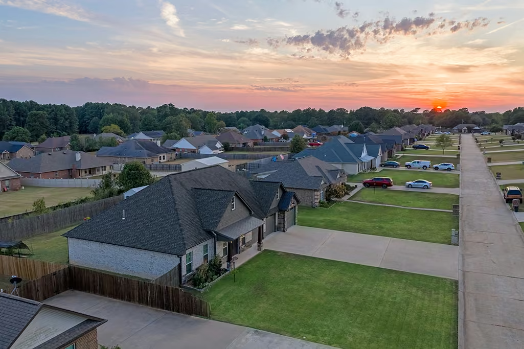
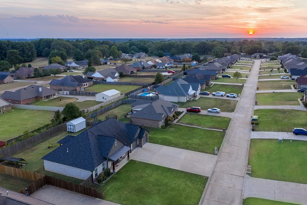
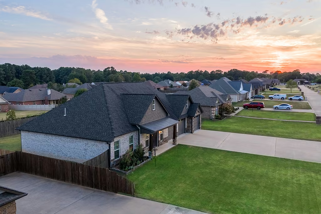
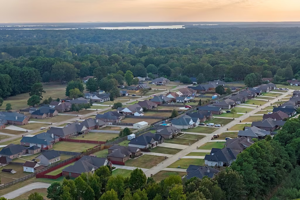
- Twilight and sunset aerial imagery
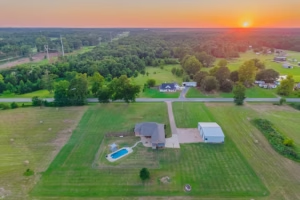
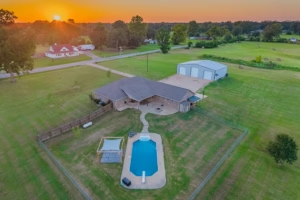
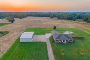
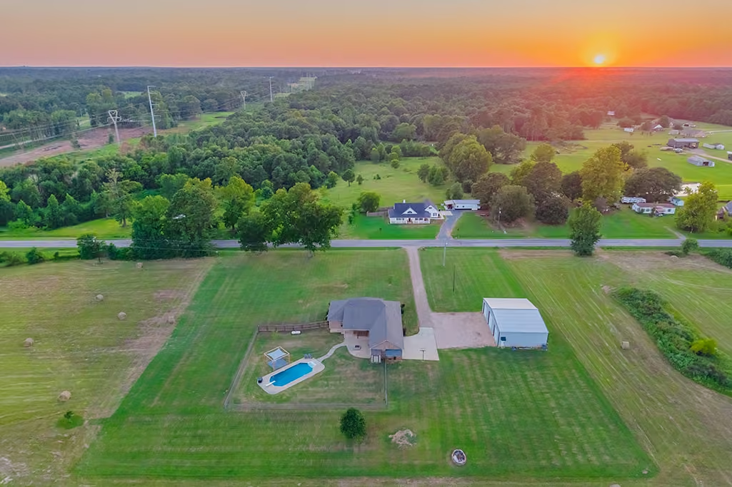
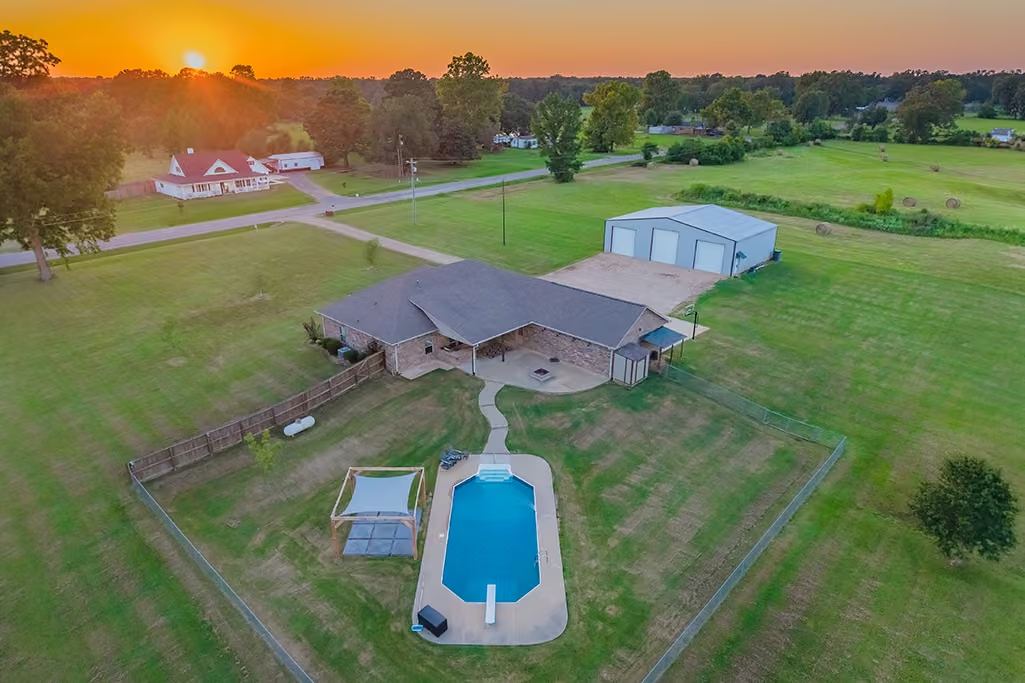
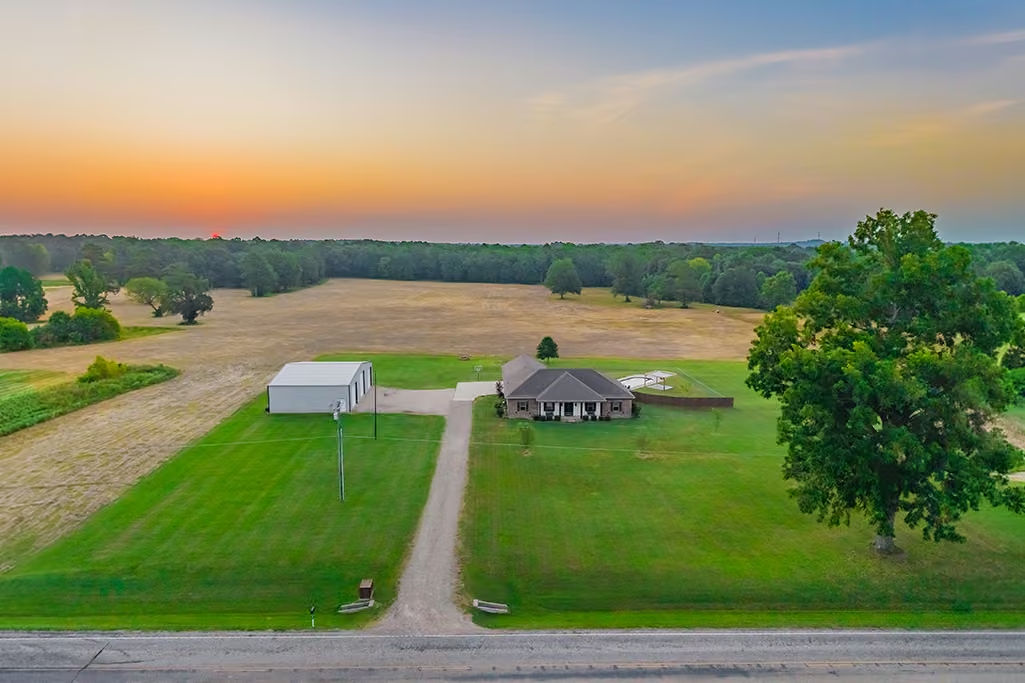
- Property overview photos
- Social media-ready aerial content
- Optional property boundary and acreage overlays available as an add-on for $25
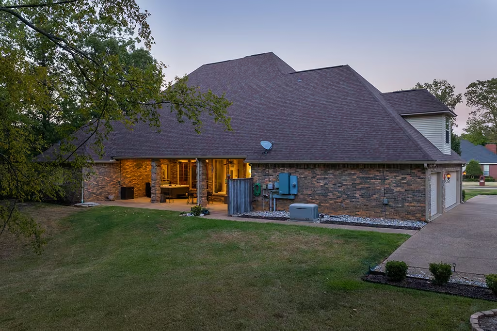
Standalone drone jobs generally cost $200 and often include around 20+/- professionally finished aerial photographs. For just $100 more, I can add professional ground-level HDR photography, bringing the complete photo gallery to 40+ images while giving buyers a more complete view of the property from both the ground and the air.
Key Features That Stand Out
✓ Professional aerial photography and real estate photography
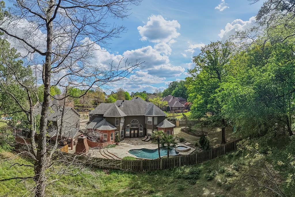
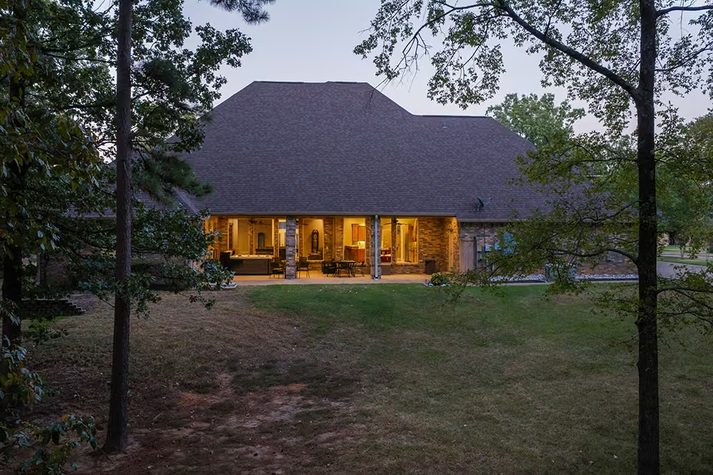
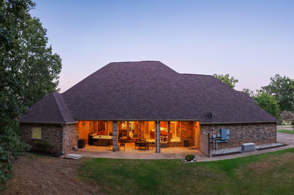
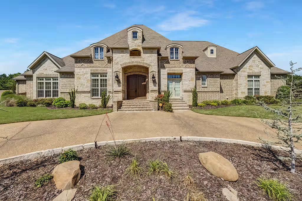
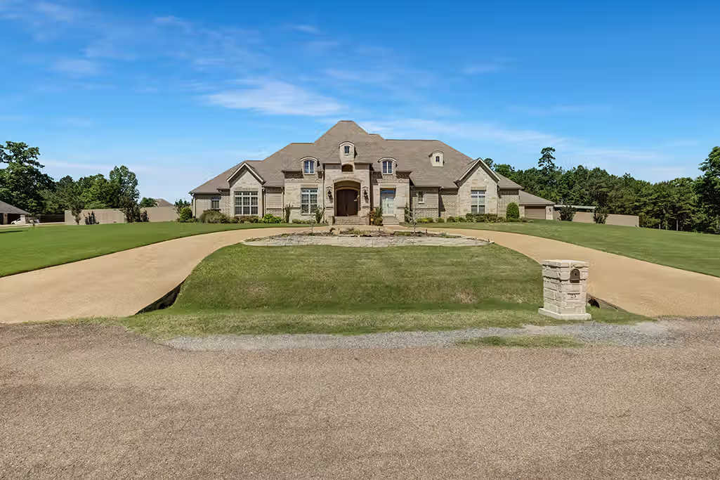
✓ Multiple exterior angles from above and ground level
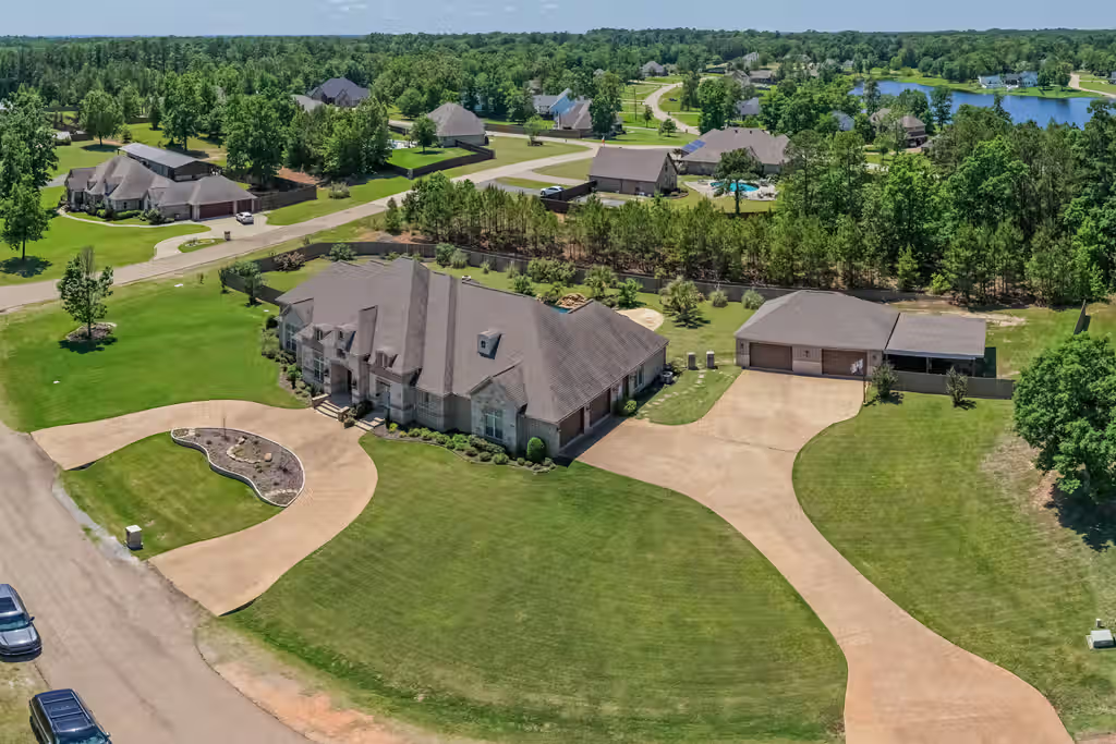
✓ Clear views of the home, property, and surrounding area
✓ Professional editing with natural color and balanced exposure
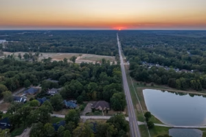
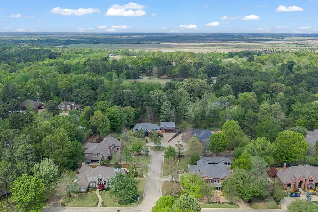
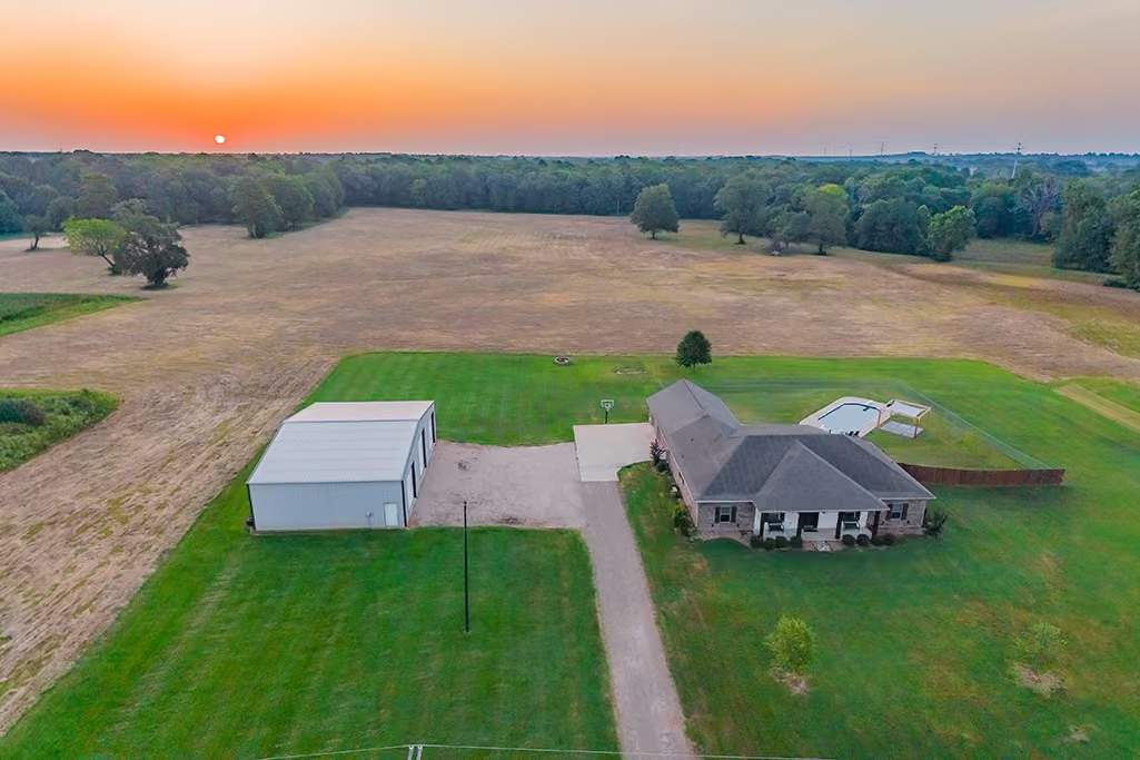
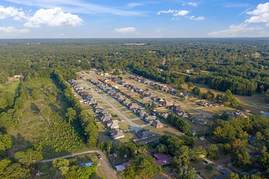
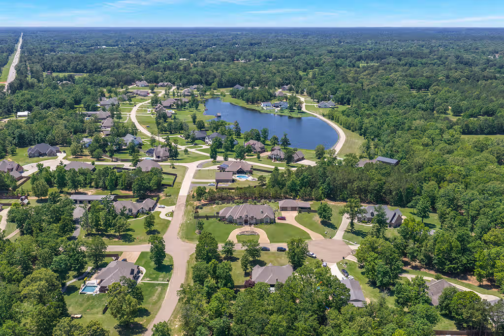
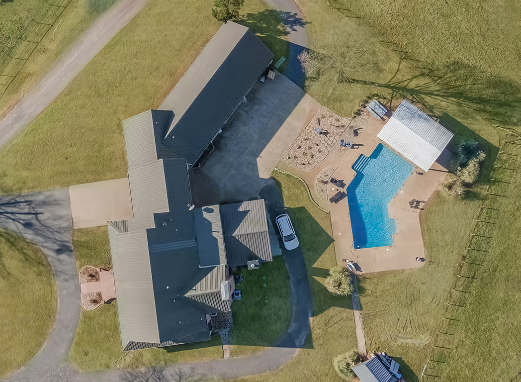
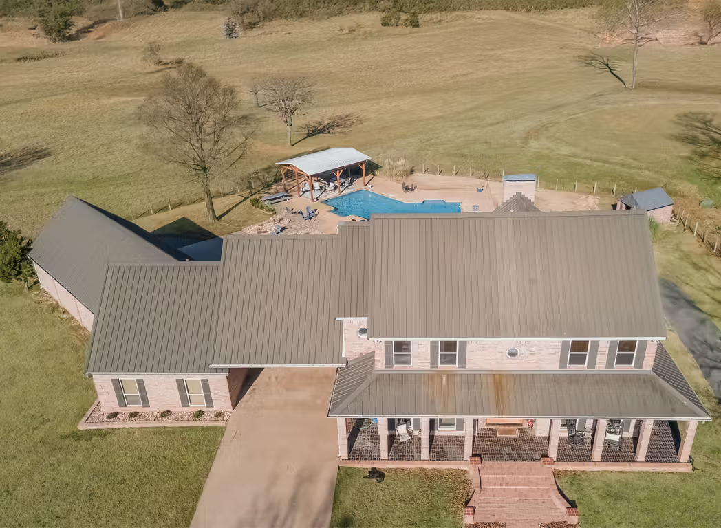
✓ Drone images that highlight acreage, lot layout, surrounding roads, and nearby features
✓ High-resolution and or MLS correctly sized images prepared for online property marketing
✓ Interactive aerial 360° panoramas come Facebook-post ready, letting buyers explore the property from above.
✓ Ground-level HDR photography is available for just $100 more, increasing the total photo count to approximately 40+.
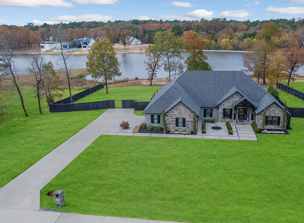
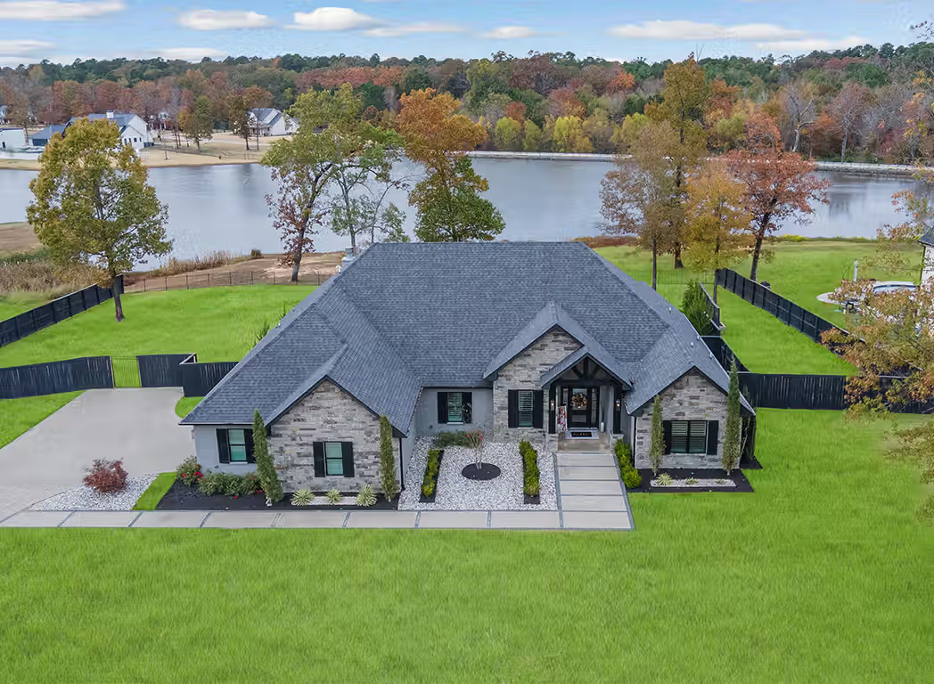
Professional drone photography can help Realtors showcase properties from viewpoints buyers would never see during a typical online search. When combined with HDR photography, video, and interactive property media, aerial images can help create a stronger first impression and give potential buyers more information before they visit the home.
Ready to Make Your Listing Stand Out?
Professional drone photography gives buyers a better sense of the property, the land, and the surrounding area before they ever schedule a showing. Whether you need aerial photos, HDR photography, video, a Zillow 3D Home tour, or a complete real estate media package, ProTexarkana can help you create a stronger first impression.
Book your session today and give your next listing more to show.
Book Your Video Session
HDR Slideshow Video = 150
Cinematic Video = $300
Agent Tour Video = $400
HDR, Drone, 3D Tour & Floor Plan = $400
Book Your Photo Session
High-Definition HDR Photos = $200
Aerial Drone Photography = $200
HDR & Drone Photo Bundle = $300
HDR, Video, 3D Tour & Floor Plan = $550


FAQs
How much does Drone Photography Near Me cost?
If you are searching for Drone Photography Near Me, my standalone aerial photography service is currently $200 per property and generally includes around 20+/- professionally finished drone photos.
For just $100 more, I can add professional ground-level HDR photography, bringing the complete gallery to 40+ images while giving buyers a much better view of the property from both the ground and the air.
This option works well for Realtors, property owners, land sellers, investors, and businesses that want strong aerial coverage without moving into a larger media package.
When drone photography is included in one of my bundled services, the package may include around 10+/- aerial images along with HDR photography, video, a Zillow 3D tour, or a floor plan.
Those image counts are guidelines, not hard limits. If I capture additional aerial photos that genuinely help market the property, I have been known to include more than the package specifies.
What should I expect when booking Drone Photography Near Me?
When you book Drone Photography Near Me through ProTexarkana, I build the aerial coverage around the property instead of delivering a repetitive set of overhead shots.
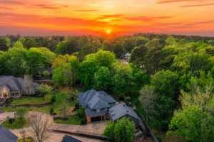
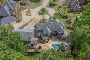
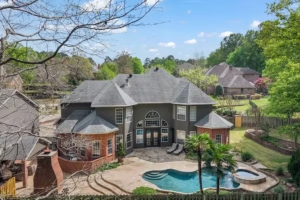
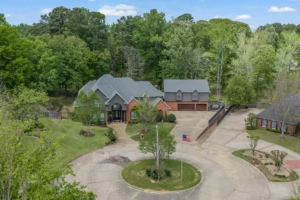
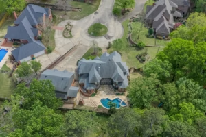
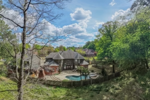
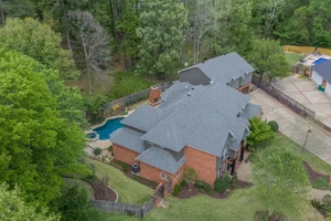
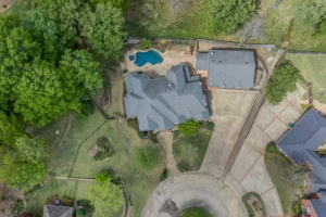
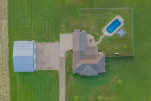
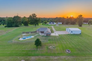
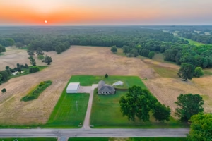
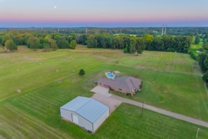
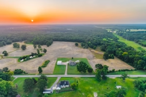
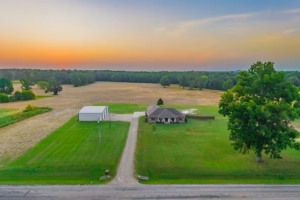
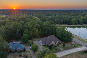
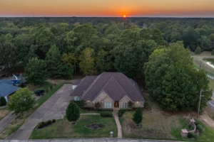
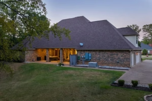
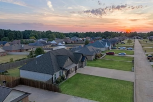
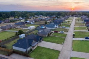
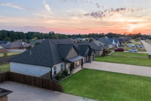
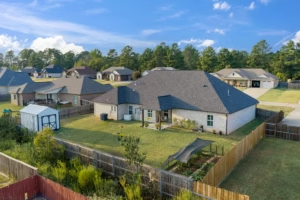
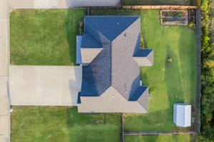
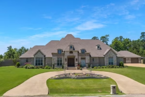
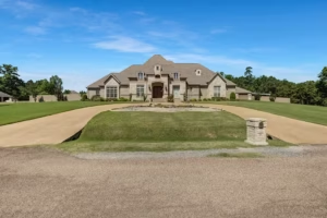
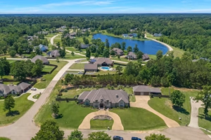
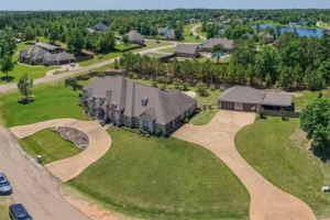
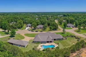
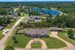
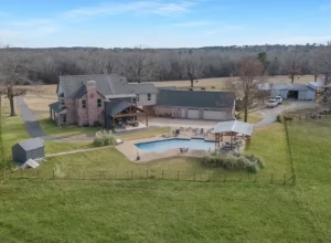
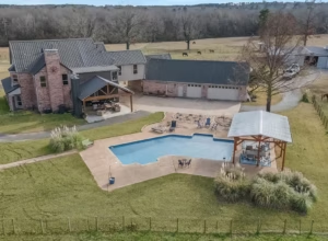
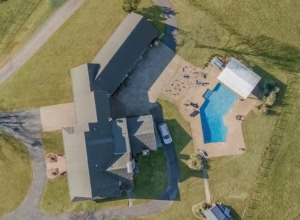
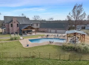
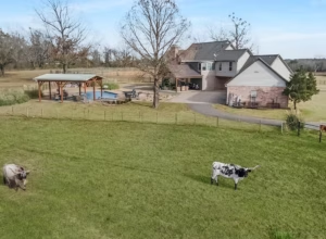
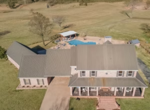
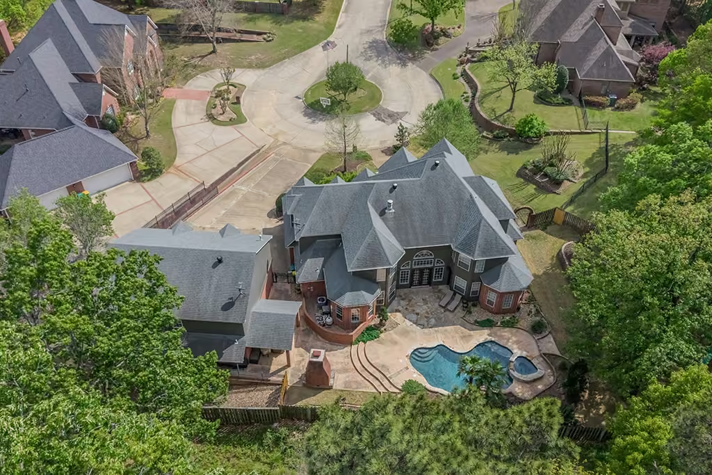
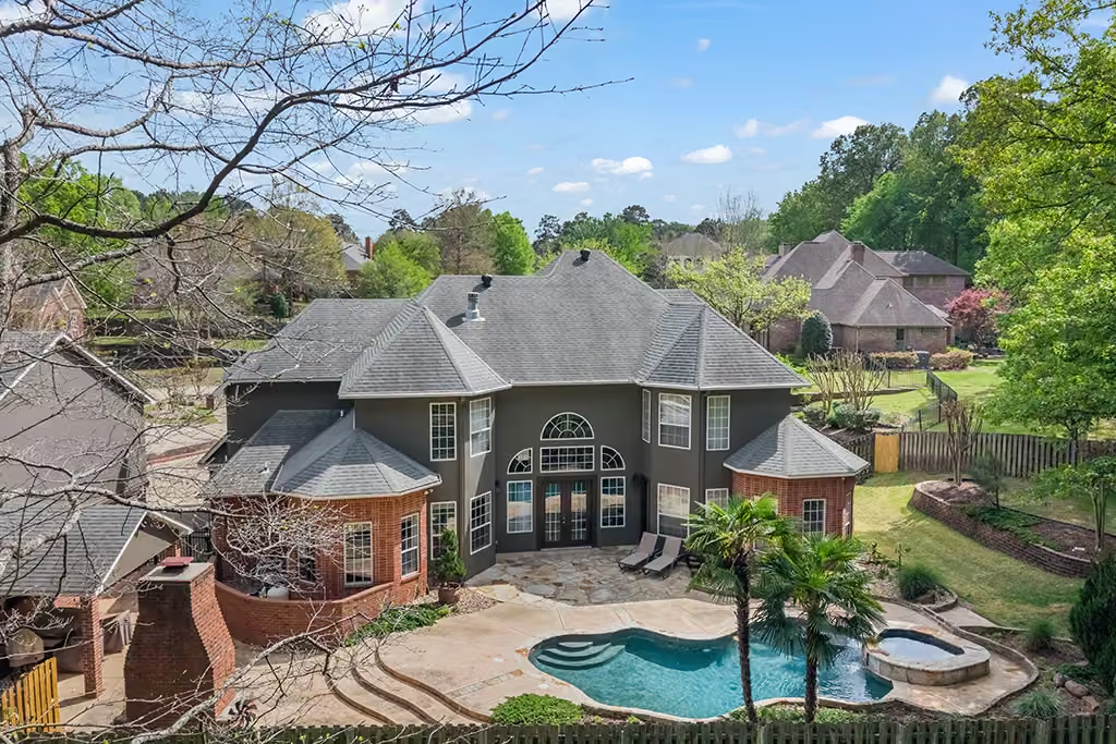
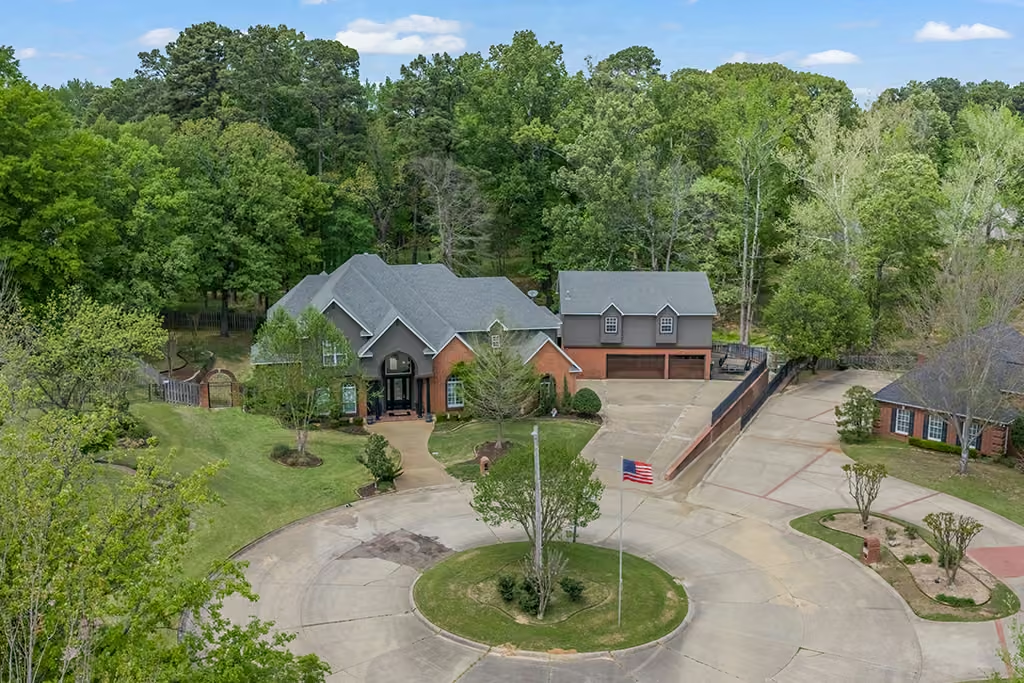
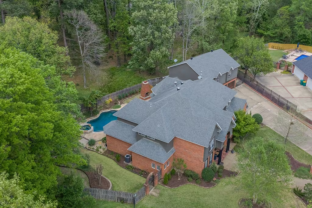
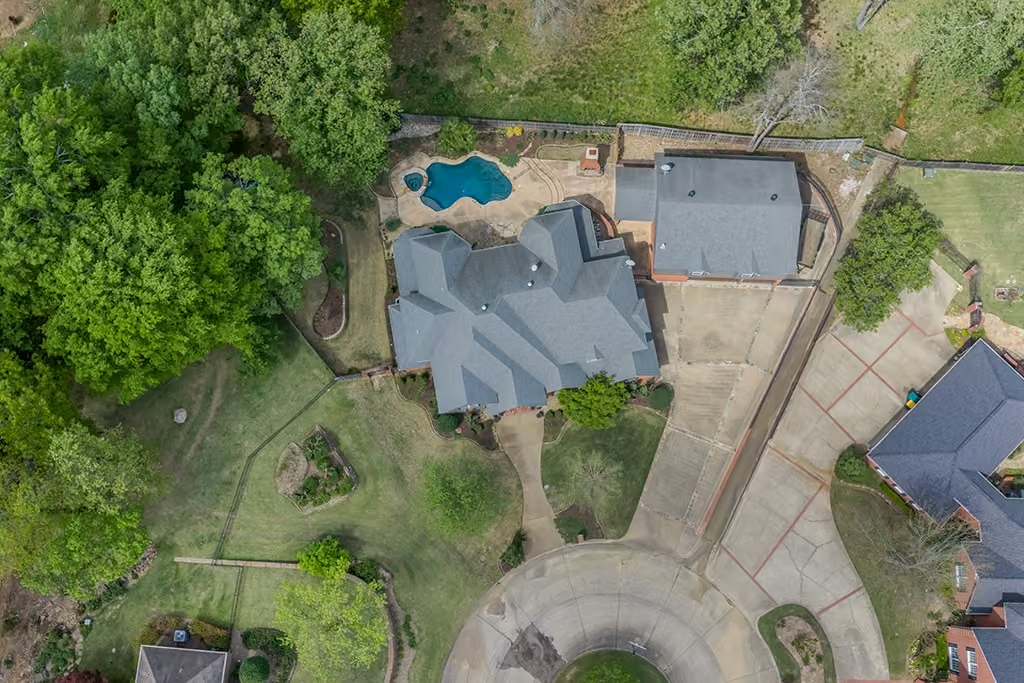
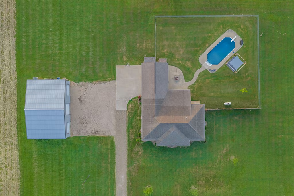
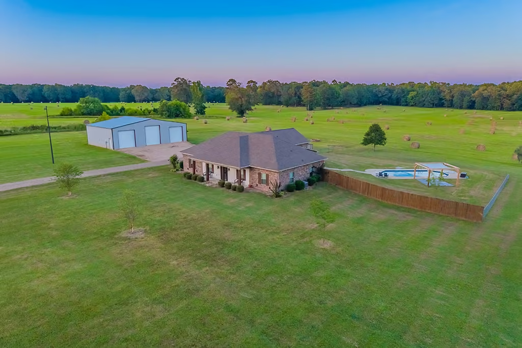
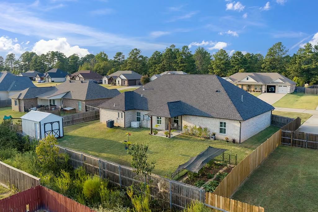
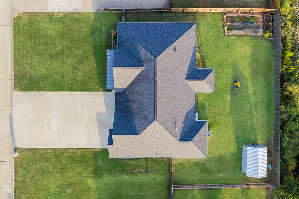
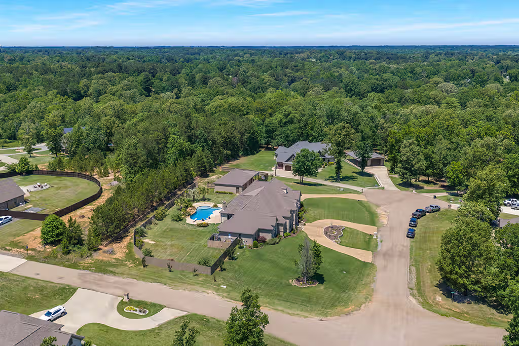
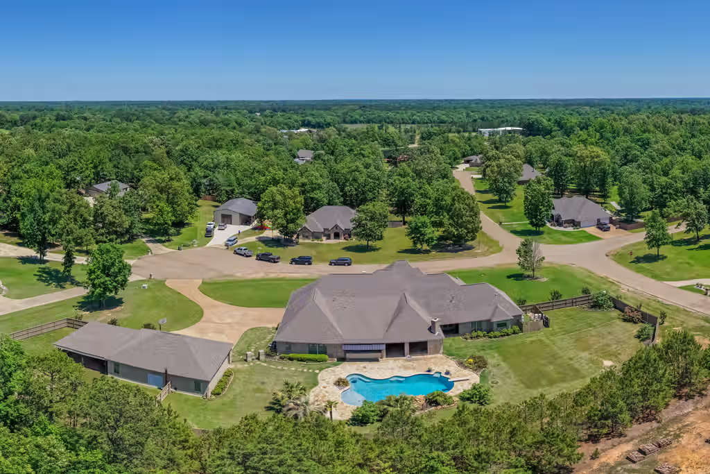
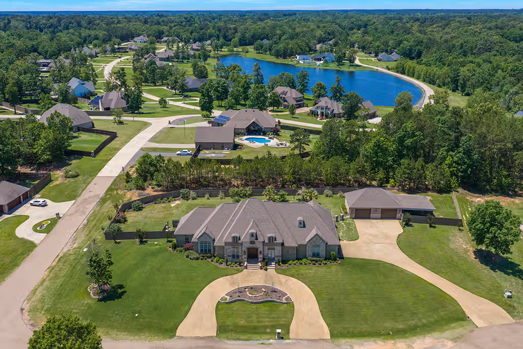
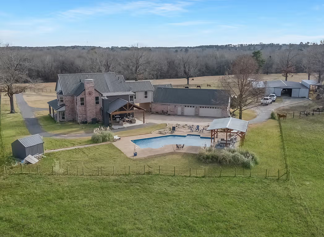
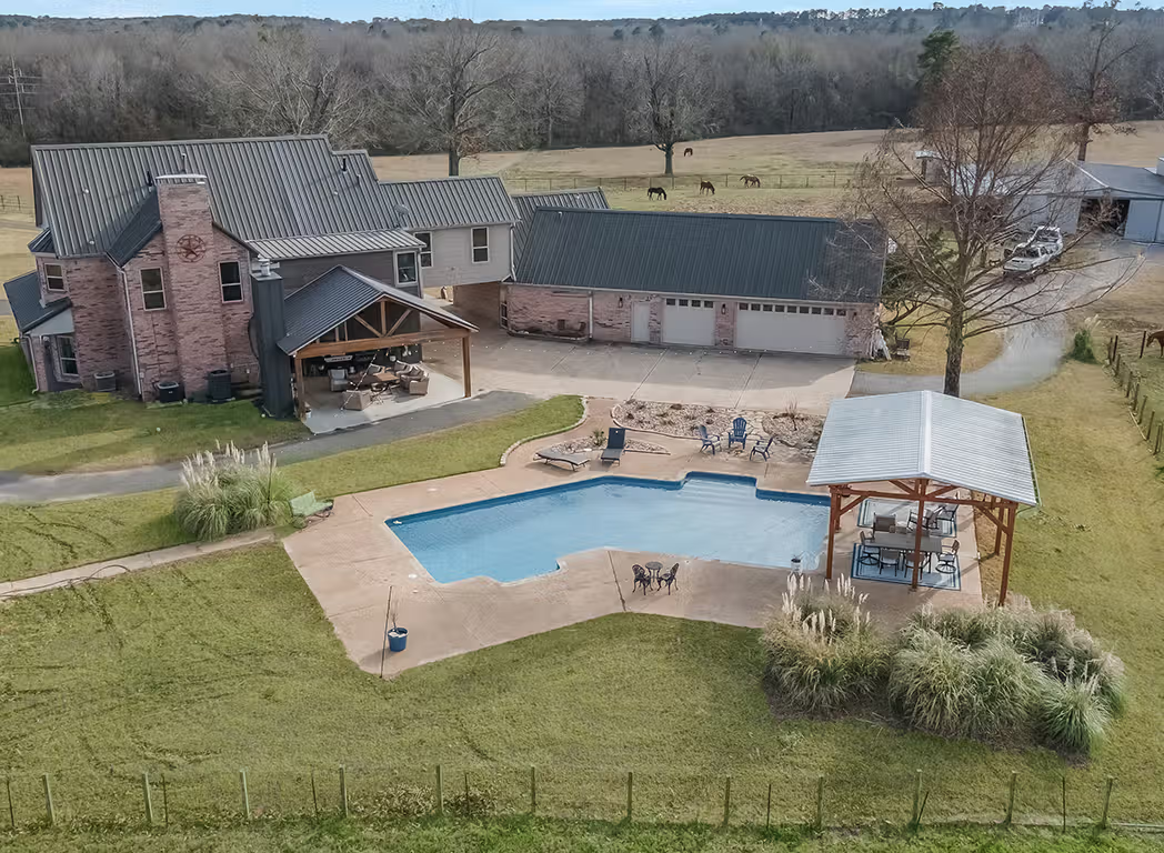
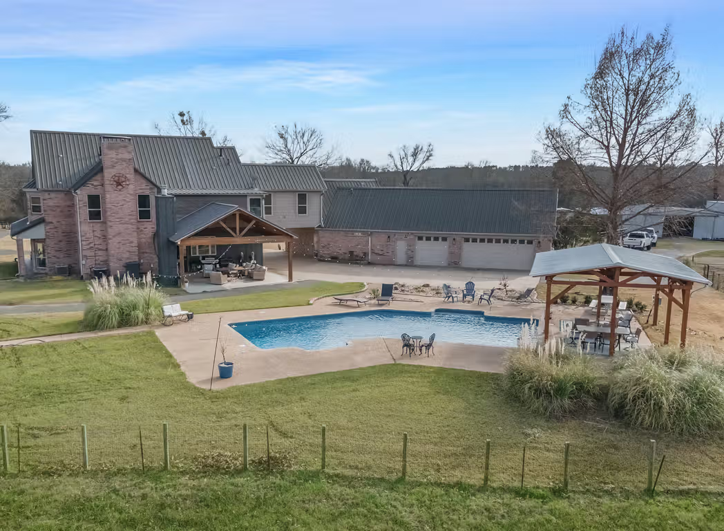
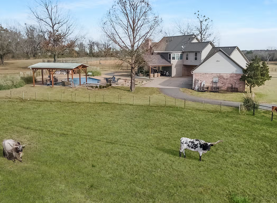
Depending on the location, I may capture elevated front and rear views, angled exterior photos, acreage, pools, shops, landscaping, driveways, nearby roads, and surrounding land.
Standalone drone jobs generally include around 20+/- finished aerial images. If you add ground-level HDR photography for just $100 more, the total gallery can increase to 40+ finished photos, giving buyers a more complete view of the property from both the ground and the air.
My larger media bundles may include around 10+/- aerial images along with HDR photography, video, a Zillow 3D tour, or a floor plan. Because those packages include several types of media, the overall deliverable count can increase substantially depending on the services selected.
I may also include an aerial 360 image when it adds value. These interactive views can work especially well as standalone Facebook posts because they encourage people to explore the property and surrounding area.
Why should I choose an FAA Part 107 pilot for Drone Photography Near Me?
If you are comparing options for Drone Photography Near Me, one of the first things you should ask is whether the person flying the drone is FAA Part 107 certified.
I am an FAA Part 107 certified remote pilot and provide commercial aerial photography and video throughout the Ark-La-Tex region.
Part 107 certification matters because real estate photography, listing videos, advertising, and other paid drone work are commercial operations. A qualified pilot should understand airspace restrictions, weather, operational limitations, and authorization requirements.
Hiring a certified commercial drone pilot gives Realtors and property owners more confidence that the flight is being planned and performed correctly.
What are the risks of hiring an unlicensed drone photographer?
Hiring someone who owns a drone is not the same as hiring someone qualified to perform commercial drone work.
An unlicensed operator may not fully understand controlled airspace, temporary flight restrictions, operating limitations, or when FAA authorization is required.
That can introduce unnecessary risk around the property and the marketing project.
For Realtors, brokers, builders, and businesses, it also raises questions about whether the flight is being conducted legally for commercial purposes.
When you search for Drone Photography Near Me, price should not be the only factor. Licensing, experience, equipment, safety, and the quality of the finished media should all be considered before choosing a provider.
Should a real estate photographer offer drone photography?
Yes, especially when aerial images can help explain the property more effectively. Drone photography is useful for homes with acreage, large lots, swimming pools, attractive landscaping, waterfront access, commercial property, rural locations, or distinctive neighborhood surroundings.
Working with one real estate media provider for both ground photography and aerial photography can also create a more consistent look. The images can be planned together so the aerial photographs support the rest of the listing instead of feeling like unrelated additions. If you are comparing photographers after searching for Drone Photography Near Me, ask whether aerial photography can be combined with HDR photos, video, Zillow 3D tours, and floor plans as part of one coordinated property marketing package.
What drone equipment do you use for real estate photography?
I own several newer DJI drones so I can choose the aircraft that makes the most sense for each property and project.
My primary aerial platform is the DJI Mavic 4 Pro, which I use for professional real estate photography and cinematic video. I also own the DJI Mini 5 Pro, which gives me a compact option for certain shooting conditions.
For specialized video work, I use the DJI Neo 2. Its smaller size gives me additional creative options for carefully planned shots around a property and, when conditions are appropriate, through portions of a home.
The equipment gives me flexibility, but the real goal is always the same: create aerial media that helps the property look its best and gives buyers useful information.
Can Drone Photography Near Me include video too?
Yes. Drone Photography does not have to be limited to still images.
I also provide cinematic aerial video that can be combined with ground-level video, HDR photography, Zillow 3D tours, floor plans, and other real estate videography services.
Drone video works especially well for properties with acreage, pools, luxury features, large yards, waterfront settings, commercial buildings, or visually interesting surroundings.
I can capture wider establishing shots, lower cinematic passes, reveal shots, and other movement that helps tell the story of the property.
For some projects, I can also use the smaller DJI Neo 2 for creative transitions and carefully planned interior or covered-area shots.
Can you use a drone inside a home?
In some situations, yes.
My DJI Neo 2 gives me options for smaller, more controlled cinematic movements that can work inside certain homes or covered spaces where a larger drone would not be appropriate.
Indoor drone video is never automatic. I consider room size, ceiling height, furniture, people, fans, lighting, and the intended flight path before deciding whether the shot makes sense.
When conditions are right, indoor drone footage can create smooth transitions between rooms and connect interior video with exterior aerial footage.
The goal is not to use a drone as a gimmick. The shot has to improve the final property video and support the overall presentation.
Do you deliver more aerial photos than your package lists?
Sometimes, yes.
My standalone $200 drone service generally includes around 20+/- aerial photos, while my larger real estate media bundles may specify around 10+/- drone images because those packages also include other deliverables.
I do not treat those numbers as a hard limit.
If the property gives me additional strong angles, sunset views, acreage perspectives, or other aerial images that genuinely help the Realtor market the property, I have been known to include more than the package specifies.
I would rather deliver useful media than leave strong photographs out simply to match an exact number.
What is an aerial 360 photo?
An aerial 360 image is an interactive panoramic view captured from above the property.
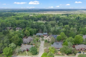
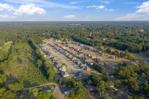
Instead of looking in one fixed direction, viewers can move around the image and explore the home, surrounding land, roads, neighborhood, trees, and nearby features from an elevated position.
I especially like aerial 360 images as standalone social media content.
They can work well on Facebook because they give people something interactive to explore rather than another static image in the feed.
For certain properties, this can increase engagement while also helping potential buyers understand the setting around the home.
It is one of the extra deliverables that can make professional drone photography more useful beyond the MLS gallery.
Is Drone Photography Near Me worth it for a normal residential home?
Yes, when the aerial viewpoint shows something useful.
Drone Photography Near Me is not only valuable for luxury homes, ranches, or large acreage properties.
A normal residential home can benefit from elevated front views, backyard coverage, pool photos, landscaping, roofline angles, nearby green space, or a stronger look at how the home sits within the neighborhood.
Lower aerial angles can also create some of the best listing photos because they keep the home as the main subject while adding scale and depth.
The goal is not simply to fly as high as possible. The goal is to use aerial photography to reveal something buyers cannot fully understand from the ground.
Can I combine Drone Photography Near Me with HDR real estate photography?
Yes. This is one of the most popular ways Realtors use my services.
Drone Photography Near Me can be combined with professional HDR photography so the property is covered from both the ground and the air.
My real estate media packages can include interior and exterior HDR photos, aerial photography, video, Zillow 3D tours, and floor plans.
This makes scheduling easier because one provider can handle the full visual presentation.
It also gives the final gallery a more consistent style because I am planning the ground photos and aerial images together instead of combining media from several different companies.
For many listings, this combination gives buyers a much clearer understanding of the property.
Do you offer Drone Photography Near Me outside Texarkana?
Yes. I provide Drone Photography Near Me throughout the Ark-La-Tex region, not just Texarkana.
I serve communities across Northeast Texas, Southwest Arkansas, and Northwest Louisiana, including places such as New Boston, Hooks, Atlanta, Jefferson, Longview, Mount Pleasant, Hope, Ashdown, Fouke, Shreveport, Bossier City, and surrounding areas.
I am also willing to travel farther for the right project.
For extended travel, I charge $50 per hour for total travel time to the property and back.
That allows Realtors, builders, investors, landowners, and businesses in smaller or more rural communities to hire an FAA Part 107 certified drone pilot even when the project is outside my immediate service area.
What kinds of companies use drones for photography and videography?
Many different industries use drones for professional photography and videography because aerial imagery can show scale, location, progress, and property features that are difficult to capture from the ground.
Real estate companies, Realtors, home builders, developers, construction companies, roofing contractors, commercial property managers, and land investors frequently use drones to market properties or document projects. Hotels, resorts, event venues, tourism businesses, golf courses, farms, and outdoor recreation companies can also benefit from aerial photos and cinematic video.
Drones are also useful for businesses that need progress updates, promotional content, social media assets, or a better way to show large properties and outdoor spaces.
ProTexarkana provides commercial drone photography and videography throughout the Ark-La-Tex for real estate, businesses, land, and other marketing projects.
Is drone photography worth it when selling a house?
Yes. If you are searching for Drone Photography Near Me, aerial photography can be especially valuable when a property has acreage, a large backyard, a pool, outdoor living areas, mature landscaping, or nearby amenities. Drone images help buyers understand how the home sits within the property and surrounding neighborhood. They also add variety to the listing gallery and can create stronger social media content. Professional aerial photography can also help Realtors show future sellers that they invest in higher-quality marketing rather than relying on basic photos alone.
Can you fly a drone near an airport or in restricted airspace?
Sometimes, but it depends on the property location and current airspace requirements. When you hire Drone Photography Near Me through ProTexarkana, I check the location before flying to determine whether the property is in controlled airspace or affected by temporary restrictions. Some areas may require authorization before a commercial drone flight can take place. As an FAA Part 107 certified drone pilot, I plan each flight with safety and compliance in mind. This is one reason it is important to hire a qualified commercial pilot instead of someone who simply owns a drone.
Can drone photography show property lines or acreage boundaries?
Yes. Drone Photography Near Me can be combined with property-line graphics to help buyers understand the approximate shape, size, and layout of acreage or land. This is especially useful for farms, ranches, rural homes, investment properties, and larger residential lots. If accurate boundary information is provided, I can create visual overlays for marketing purposes. These graphics are intended to help explain the property and should not be treated as a legal survey. Aerial photography can also show roads, ponds, tree lines, buildings, and surrounding terrain in a way that ground-level photos cannot.